The Best Beaches in the North West of England
Bordering the Irish Sea and spanning three counties, these beaches in the North West make for excellent places to...
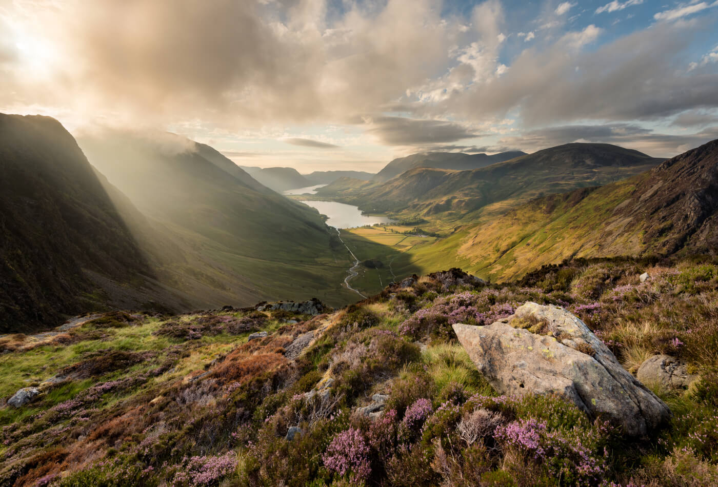
Are you ready to explore the natural beauty of the Lake District’s mountains and fells? Well, pack your hiking boots and camera, because we’re about to uncover some amazing peaks!
Home to 10 of the highest mountains in England, the national park is a playground for walkers. From the rugged peaks of Scafell Pike to the rolling hills of the Coniston Fells, there’s something for all hiking abilities here.
Our guide contains the top mountains from this majestic region, alongside handy facts and FAQs. After reading, you’ll be well-equipped to start your outdoor adventure.
Be stunned by these mountains in the Lake District…
Lake District Mountains FAQs
Our Favourite Mountains in the Lake District
Lake District Peaks Map
Scafell Pike, Scafell, Skiddaw and Helvellyn.
There are 214 mountains and fells in the national park.
Scafell Pike, which is also the highest mountain in England. Keep reading the blog to learn more about this peak.
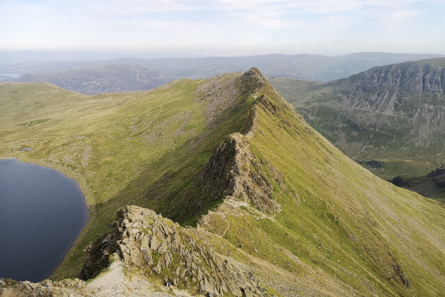
Located just north of Ambleside is Helvellyn, which stands at 950 metres. As the third-highest peak in England, it’s the perfect start to our list of Lake District mountains.
You’ll find Helvellyn nestled between the Ullswater and Thirlmere valleys, offering astounding views. However, before you go off to uncover its sights, please be aware that the mountain is tricky to climb!
If you do decide to scramble up the peak, we recommend following the Thirlmere Route; it’s considered one of the easiest ways to access the summit.
During your hike, you can look forward to soaking up the views that inspired William Wordsworth and Samuel Taylor Coleridge’s poetry. History lovers in the group will be pleased as amidst the panoramas, you can spot the remains of the Helvellyn aircraft wreck.
GPS coordinates: 54.5268301, -3.026001
Nearest car park: Glenridding Car Park, CA11 0PA
Parking charge: 2 hours, £3; 3 hours, £4.20; 4 hours, £5.40; 5 hours, £6.60; Max, £8
More information on climbing the mountain.

Another popular fell in the national park, Catbells is a welcome addition to our guide. At just over half the size of Helvellyn, standing at 451 metres, this peak is easier to climb and can be reached from Keswick.
One way to access the fell is via the Catbells Circular Walk, a 3.6-mile hike that’s moderate in difficulty. The route caters to pooches too, so your canine companion can ramble up the peak with you!
After reaching the summit, savour panoramas of Grange village, Skiddaw and Derwentwater. The nearby Newlands Valley is worth exploring after completing the hike, where more walks and fells await.
Alternatively, head into the town and reward yourself with a delicious meal at one of the many Keswick restaurants.
GPS coordinates: 54.5683166, -3.1794263
Nearest car park: B5289 Parking, CA12
Parking charge: Please check upon arrival
More information on climbing the mountain.
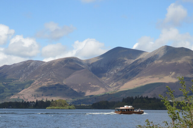
Amongst the highest mountains in England and Lake District peaks, Skiddaw is an impressive sight. Standing at 931 metres, it might seem like another steep climb, but, Skiddaw boasts a tourist path offering an easy walk.
The path, known as Skiddaw Walk, is 10.7 miles long. It begins in the centre of Keswick, making it easily accessible if you’re staying in the town.
During the hike, you’ll be able to see as far as the Pennines and even Scotland on a clear day! Not only can you enjoy these sights at the mountain’s summit but you’ll get the chance to spot a range of wildlife, from skylarks to buzzards.
Are you a paragliding or hang-gliding enthusiast? This Lake District mountain is perfect for you, with several take-off sites to choose from. Air Ventures Paragliding School offer guided sessions here too, perfect for beginners.
GPS coordinates: 54.6514191, -3.1565524
Nearest car park: Dodd Wood Car Park, CA12 4QG
Parking charge: Up to 1 hour, £1.65; each extra 20 minutes, 45 pence; all day, £7
More information on climbing the mountain.

The highest mountain in England at 978 metres, Scafell Pike is a very popular walk and is part of the famous Three Peaks Challenge.
The summit can be accessed via several different locations, but our pick is the Scafell Pike Circular Walk. It’s a difficult yet rewarding route that’s 7.2 miles in length. Expect rocky terrain, dramatic sights and a steep hike!
This piercing Lake District mountain not only has deep cultural ties, having attracted writers Alfred Wainwright and Wordsworth in the past, but, it’s also home to a wealth of rare plants, including the ring ouzel.
Views at its summit are nothing short of astounding. You’ll be able to spot Wales, Ireland and Scotland here!
GPS coordinates: 54.4542347, -3.2203568
Nearest car park: Wasdale Car Park for Scafell Pike, CA20 1EX
Parking charge: £7 for all-day parking
More information on climbing the mountain.
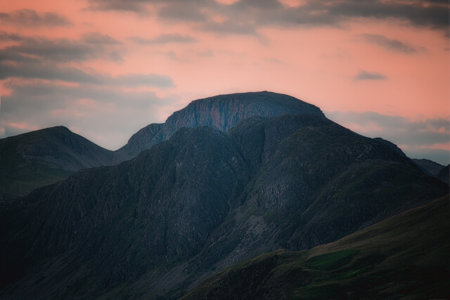
Nestled in the western part of the national park is Haystacks. A small fell with a height of 597 metres, it could almost be considered a Lake District hill.
Despite its height, the fell is well known for its wild and rocky terrain, and this can be seen first-hand on a walk. We recommend venturing along the Haystacks Circular Path, where views of Buttermere Lake, one of the best Lake District lakes await.
If you love to birdwatch, this is the Lake District peak for you. Peregrine falcons and golden eagles are just a couple of the birds soaring through the area.
GPS coordinates: 54.5080116, -3.2567548
Nearest car park: Gatesgarth Car Park, CA13 9XA
Parking charge: £4 for all-day parking
More information on climbing the mountain.
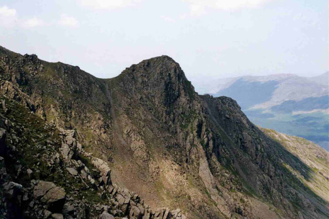
Another western fell in the park, Steeple is best accessed via Ennerdale Bridge. It’s a fairly remote mountain and has a height of 819 metres, making it ideal if you’re after an off-the-beaten-path experience.
Despite being smaller than some of our other picks, this is not an easy mountain to climb. With rugged and steep terrain, a climb here is best attempted by adept hikers.
The most popular route for the peak begins from the northwestern end of Ennerdale Water. During this hike, you’ll be able to see the striking fell up close, alongside views of Scoat Fell and Ennerdale Water.
GPS coordinates: 54.4829109, -3.3183484
Nearest car park: Free parking at Bowness Knott Car Park, CA23 3AX
More information on climbing the mountain.
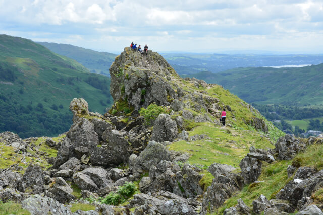
Tucked away near Grasmere is the 405-metre fell of Helm Crag. A moderate hike, Helm Crag is a popular spot for walkers, offering a circular route which takes around 2-3 hours to complete.
This Lake District fell is best known for its unique rock formations, such as its summit which resembles a human face! You can also spot another formation when hiking here, the “Lion and the Lamb”.
It’s another peak favoured by the literary scene, featured in several of Wordsworth’s and William Herbert’s poetry. With its special formations, it’s no surprise that the fell is a popular spot for photography. The best place to snap a shot of the summit is during autumn when the surroundings are stunning shades of orange.
GPS coordinates: 54.4754917, -3.0488248
Nearest car park: Parking Place at Pass of Dunmail Raise, LA22 9RS
Parking charge: Please check upon arrival
More information on climbing the mountain.
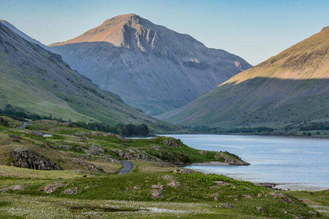
Standing at 899 metres, Great Gable is a mighty mountain in the Lake District. You can find this striking peak between Wasdale and Keswick.
With its distinctive shape and wide summit providing mesmerising panoramas, Great Gable is favoured by walkers. However, the hike to these views is incredibly strenuous due to the steep terrain; please take care!
This Lake District peak is home to Napes Needle, a natural rock climbing wall. If you’re a climbing enthusiast, why not give it a go?
Alternatively, continue your hike to Great Gable’s sister mountain, Green Gable or wander down to the nearby lake of Wastwater. More activities await here, such as alpaca trekking, lakeside picnics and watersports.
GPS coordinates: 54.482143, -3.2280279
Nearest car park: Wasdale Head Car Park, CA20 1EX
Parking charge: £7 for all-day parking
More information on climbing the mountain.
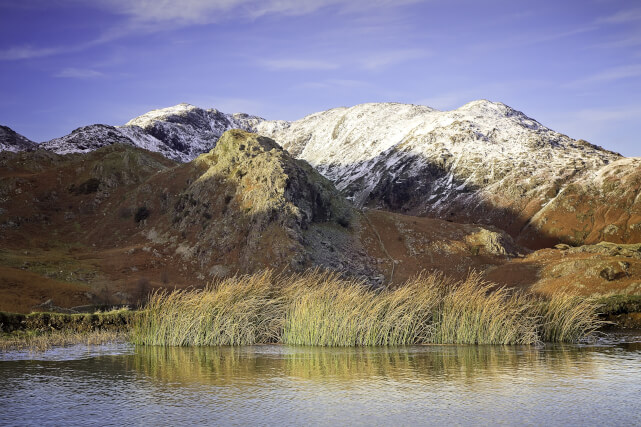
The Old Man of Coniston is a popular peak in the national park, reaching 803 metres in height, and is amongst the best Lake District walks.
This peak has an incredibly rich history. Not only does its human activity date back to the Neolithic era, but it was also the main source of slate and copper in the area during the 19th and 20th centuries. Keep an eye out for mining remains on its slopes!
With several hiking and climbing routes available, it’s no surprise that this Lake District mountain is a hit with outdoor lovers. It provides a gorgeous backdrop for walking too, with Coniston Water and the surrounding fells being points of interest.
If you time your visit right, you can partake in the renowned Coniston Fell Race. This annual race dates back to 1982 and comprises a route of 8.6 miles which stretches to Coniston village.
GPS coordinates: 54.3701142, -3.1557962
Nearest car park: Walna Scar Car Park, LA21
Parking charge: Up to 4 hours, £4; 9 hours, £8
More information on climbing the mountain.
Ready to make the climb? Check out this fantastic range of Lake District cottages to find the ideal hiking holiday base. If you want to explore more walks in the area, we recommend reading our Lake District Hiking Guide.
Image Credits: Antiquary – CC BY-SA 4.0; Dougsim – CC BY-SA 4.0; Mick Knapton – CC BY-SA 3.0; Lynn Rainard – CC BY-SA 2.0
Are you on the phone to our call centre? Your Customer ID is:
Get involved in the Discussion